
Case study
Smart parking from existing cameras
Cameras that already watch a car park show which spaces are free, guide drivers to them and give operators the occupancy data behind their decisions.
- Industry
- Cities and mobility
- Technology
- PythonMMDetectionReactGraphQLPostgreSQLAWS


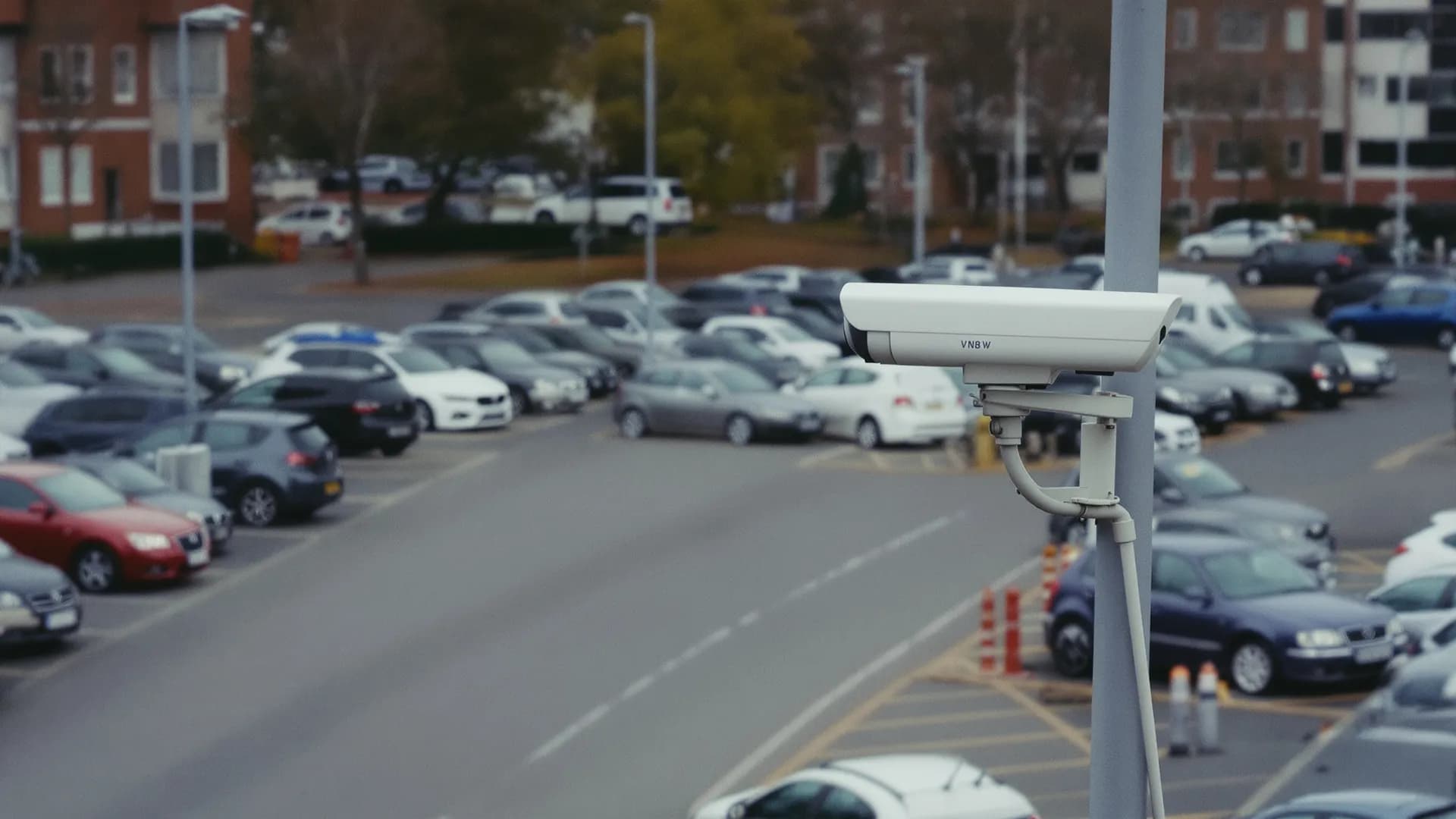
Illustrative image
At a glance
The problem
Operators had no live picture of how their spaces were used, and drivers had no way to know where a free space was before they arrived.
What we built
- 01Detection from existing cameras
- 02Live occupancy map
- 03Vehicle recognition
- 04Illegal parking alerts
- 05Access control
- 06Driver app with navigation
What changed
- Use the cameras you already have
- AI does the counting
- Decisions from data
The full story
The problem
Drivers who circle a car park looking for a space waste time and fuel, and add to congestion around it. The usual fix, a sensor in every space, is costly to install, disrupts the car park and needs constant maintenance. We used the cameras that are already there instead: AI reads every frame, marks each space free or occupied, and turns that into live guidance for drivers and data for the operator.
Sensor-based systems would have meant hardware in every bay, digging up the surface and a steady stream of repairs, and they are hard to retrofit into existing car parks and streets.
What we built
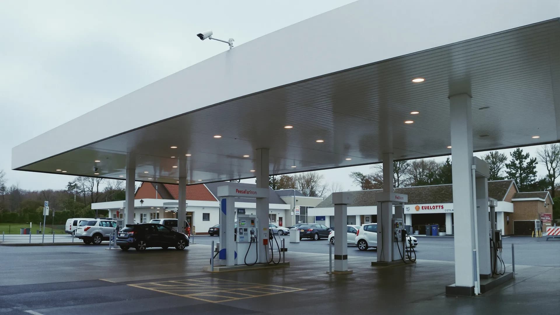
We connected the car park's cameras to object detection models built on MMDetection. Each camera watches more than 40 spaces through virtual detectors drawn over its image, and the system confirms a vehicle over successive readings, so the status of a space does not flicker. It also records the vehicle type and, where possible, the license plate, with evidence images for disputes.
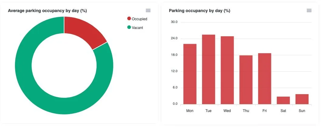
Operators manage cameras, parking areas and spaces on a map in the admin panel. The user panel shows free and occupied spaces in real time, occupancy by day and by hour, and how long vehicles stay, so decisions about pricing, enforcement and capacity rest on measured use.
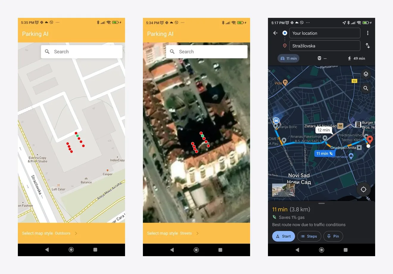
Drivers use a mobile app that shows free spaces on the map and navigates them to the nearest one. The same app lets owners rent out private spaces, with photos, prices and booking.
- Step 01Camera streamRTSP from existing cameras or an NVR.
- Step 02AI detectionVehicles and people are detected in every frame.
- Step 03Virtual detectorsEach space, drawn once on the image, becomes a sensor.
- Step 04Live platformMap, durations, analytics, alerts and barriers.
- Detection from existing cameras
- More than 40 spaces per camera, with no sensors in the ground.
- Live occupancy map
- Every space is shown free or occupied at its exact position.
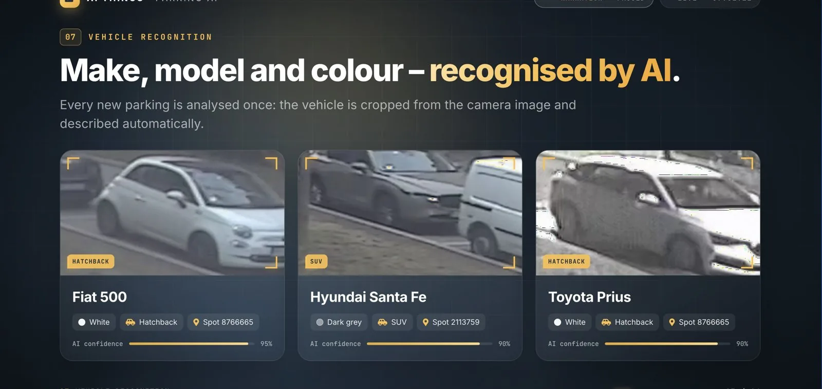
- Vehicle recognition
- Make, model and color are recognized once for each new parking.
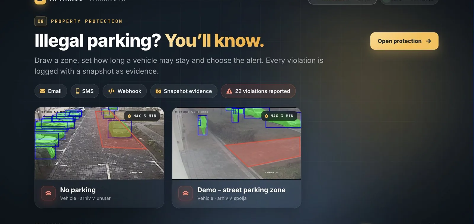
- Illegal parking alerts
- Zones with a time limit raise an alert by email, SMS or webhook, with a snapshot as evidence.
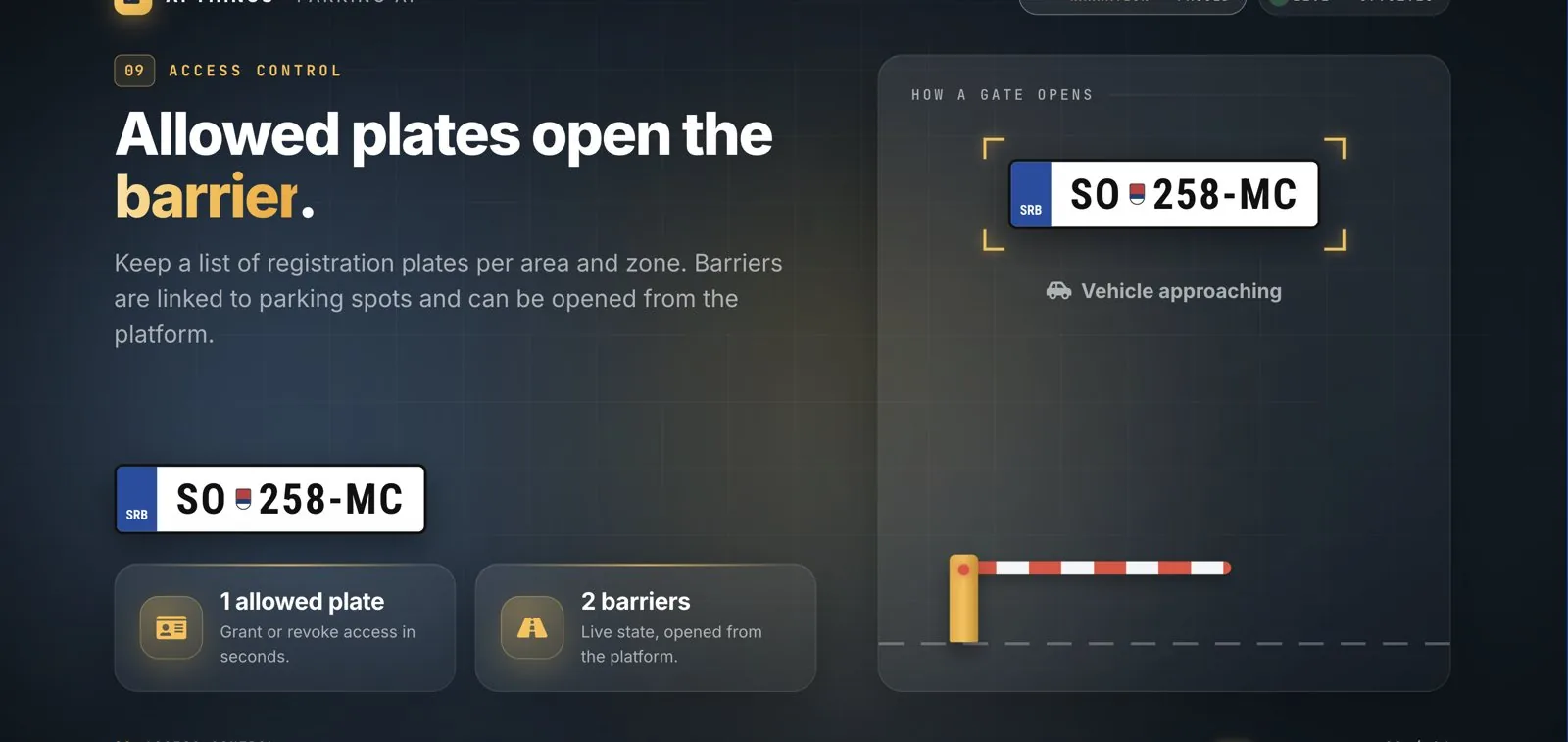
- Access control
- Allowed plates per area open barriers linked to the platform.
- Driver app with navigation
- Drivers see free spaces before they arrive and are guided to one.
What changed
- Use the cameras you already have
- Any RTSP camera or NVR, with no digging and no sensors in the asphalt.
- AI does the counting
- Every space is checked continuously, with its status, duration and vehicle type recorded.
- Decisions from data
- A live map, analytics, alerts and access control in one place.

Contact
Tell us what you want to solve.
Need a technology assessment, a software delivery partner, an AI pilot or more engineering capacity? Tell us the challenge. We will help define a practical next step.
- 01Tell us the challengeBy call or message, in your own words.
- 02We talk it throughWith consultants and engineers who build what they advise.
- 03You get a practical next stepAn assessment, a pilot, a delivery plan or a team.